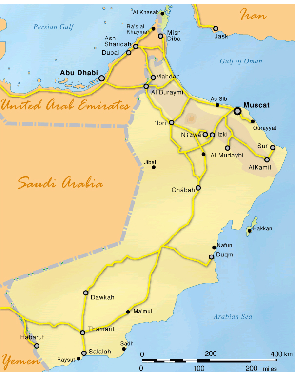
Location: Oman is the second largest country in the Arabian Peninsula with the United Arab Emirates dividing a small section in the northernmost tip. The country’s entire East Coast is fringed by the Indian Ocean and its land neighbours include Yemen to the south, and Saudi Arabia and United Arab Emirates on its western border. Geographic coordinates: 21° 00′ N 57° 00′ E Area: 309,500 sq km Highest point: Jabal Shams 2,980 m Capital: Muscat, geographic coordinates 23°37’N 58°35’E
Oman route network
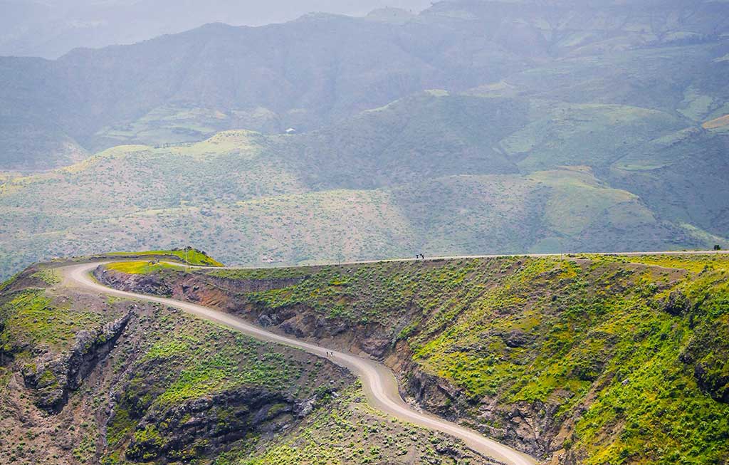
Regions & governorates map of the Sultanate of Oman